


For many years, Minnesota has been known for experiencing some of the harshest winters in the country. Months of snow and icy conditions can increase crash risk on the roads, particularly along high-speed highways and rural stretches. These seasonal hazards, along with everyday driving behaviors such as speeding, impairment, distraction, and reckless driving, contribute to serious or fatal crashes.
For this study, the legal team at Goldenberg Lauricella, PLLC, worked with 1Point21 Interactive to identify the 15-mile stretches of road across the state with the most fatal crashes over the past five years. Using the most recent available data (2020–2024) from the National Highway Traffic Safety Administration (NHTSA), we applied a rolling-window approach, first identifying the segment with the highest concentration of crashes and continuing until we compiled a top list.
Read on to learn more.
Key Takeaways:
- The deadliest 15-mile road stretch in Minnesota is located on Interstate 94, beginning in Camden, and connecting the Minneapolis and Saint Paul metro areas. This stretch recorded 16 fatal crashes and 17 fatalities.
- Four other deadly stretches were identified on I-94, and four stretches were identified on Interstate 35.
- While the identified deadly road stretches may cross through several counties, Hennepin County was identified as the primary county for a third of the top deadly stretches statewide.
I-94 & I-35 Dominate Ranking
Four 15-mile road stretches on Interstate 94 were identified as having high concentrations of fatal crashes, including the deadliest stretch in the state, which recorded 16 fatal crashes and 17 fatalities. Located primarily in Hennepin County, the segment connects Camden, central Minneapolis, and central Saint Paul, making it an important route for all sorts of travelers moving through the Twin Cities metro area.
In second place, a stretch on Interstate 35W running through the core of the Minneapolis metro area recorded 14 fatal crashes and 17 fatalities. Primarily covering Hennepin County, it begins around the southern suburbs and airport corridor before extending toward the northeastern side of the city near Roseville.
Next, a stretch of Interstate 694 along the northern side of the metro area, primarily within Ramsey County, ranked third statewide and recorded 11 fatal crashes and 12 fatalities. It’s characterized as a major suburban connector around the Twin Cities.
Another stretch on I-94 ranked fourth statewide with 10 fatal crashes and 12 fatalities, spanning the northwestern portion of the metro area primarily within Hennepin County. The remaining I-94 stretches ranked eighth and ninth overall, covering Wright and Stearns counties, respectively.
Rounding out the top five deadliest stretches, a segment on Interstate 35, covering Rice County, recorded nine fatal crashes and nine fatalities. Three additional 15-mile stretches on I-35 ranked sixth, seventh, and tenth overall, primarily covering Dakota, Rice, and Anoka counties, respectively.
| Rank | Road Name | 5-Year Crash Total | 5-Year Fatality Total | Primary County |
| 1 | I-94 | 16 | 17 | Hennepin |
| 2 | I-35W | 14 | 17 | Hennepin |
| 3 | I-694 | 11 | 12 | Ramsey |
| 4 | I-94 | 10 | 12 | Hennepin |
| 5 | I-35 | 9 | 9 | Dakota |
| 6 | I-35 | 7 | 9 | Rice |
| 7 | I-35 | 6 | 6 | Anoka |
| 8 | I-94 | 6 | 6 | Wright |
| 9 | I-94 | 5 | 7 | Stearns |
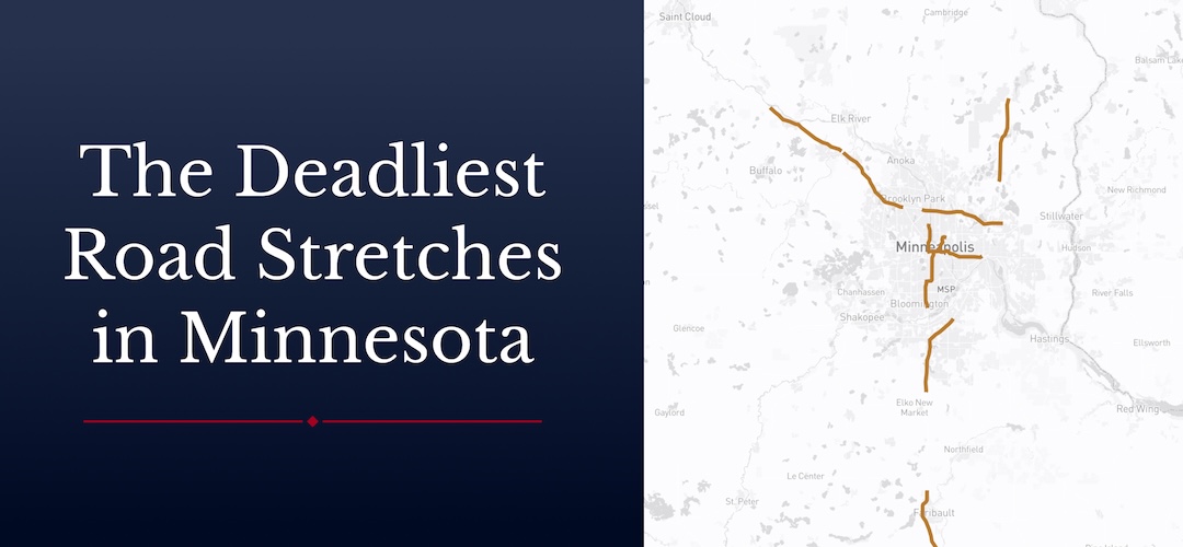
Zoom in on the interactive map below for a closer look at the deadliest road stretches in Minnesota.
Methodology
We analyzed nine years of Fatality Analysis Reporting System (FARS) data, maintained by the National Highway Traffic Safety Administration (NHTSA). Using crash coordinates, we found the 15-mile road stretches with the highest concentration of crashes.
Fair Use Statement
Readers are welcome to share these findings with other Minnesota residents. Please include a link back to this page so others can view the full context.